


14.4 km | 22 km-effort

User


FREE GPS app for hiking
 SityTrail
IGN / Geographical institutes
SityTrail World
The world is yours!
Trail Walking of 10.5 km to be discovered at Grand Est, Vosges, Le Valtin. This trail is proposed by randodan.
2015 - Vosges - Basse-sur-le-Rupt<br>
- 16 mai : Sentier des Roches, Hohneck -<br>
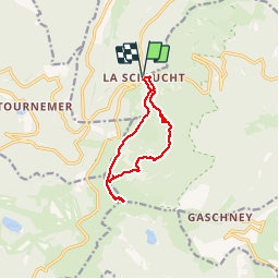
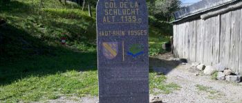
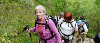
9h50, départ du Col de la Schlucht (1138 m).<br>
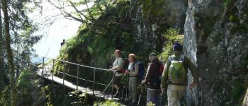
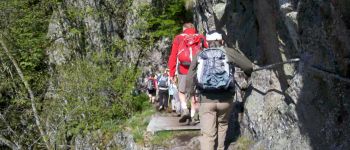
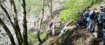
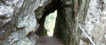
Le Sentier des Roches, en grande partie à flanc de falaise, semble (au GPS) à plus de 100 m au-dessus du tracé IGN ; il n'en est certainement que plus joli et impressionnant (nombreux passages équipés de mains courantes). Après 3/4 d'heure de marche, un tunnel permet le franchissement d'une épaule rocheuse . 11h20, pause biberon.<br>
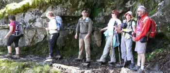
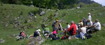
Midi à Frankenstein, pardon, Frankenthal (1028 m), on s'installe sur de confortables petits rochers dans une petite prairie pour le pique-nique . Une heure 3/4 plus tard, faut réveiller notre G.O., profondemment plongé dans sa sieste.<br>
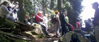
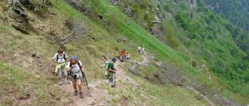
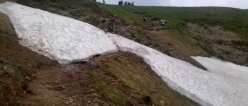
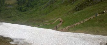
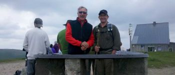
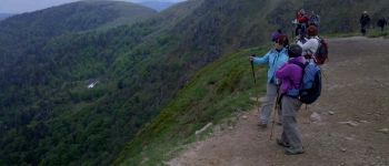
13h45, la troupe s'ébranle en vue des presque 300 m (Couloir de Falimont) à grimper pour digérer . 14h20, après quelques pas sur un névé, les 1ers arrivent au Col de Falimon, 1290 m (soit une montée à 450 m/h) . Pendant que certains s'offrent une petite pause, les plus courageux grimpent jusqu'à la table d'orientation du Hohneck, 1363 m (2e plus haut sommet des Vosges). 15h15, nous prenons le sentier de crête pour le retour (on y verra un chamois).<br>
16h10, sommes de retour au Col de la Schlucht.<br>
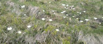
Très belle journée ensoleillée.<br>
<small>- nota.1 : Le sentier a été créé en 1910 par le club vosgien.<br>
- nota.2 : Je ne l'ai pas classé "difficile" car tous les passages délicats sont sécurisés par une main courante.</small>


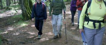
Walking

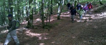
Walking

Walking

Walking

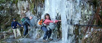
Other activity

Walking

Walking

Walking

Walking